Alto Tajo: the river that guides us (2)
Guadalajara
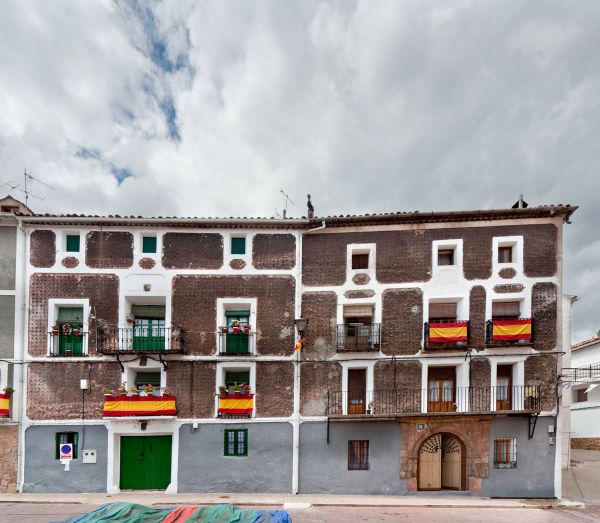
The journey through the Alto Tajo Natural Park takes us to Peñalén. The town is set in scenery surrounded by gorges, forests, mountains and waterfalls, in the heart of the park. The waters of the Tajo flow nearby and from the town, numerous excursions can be done, such as the one to its famous stone bridge and the place of Fuente de las Tobas.
Upstream, we find Poveda de la Sierra, another excellent starting point for visiting some of the area’s natural treasures. The Roman church is a highlight in the upper part of the town.
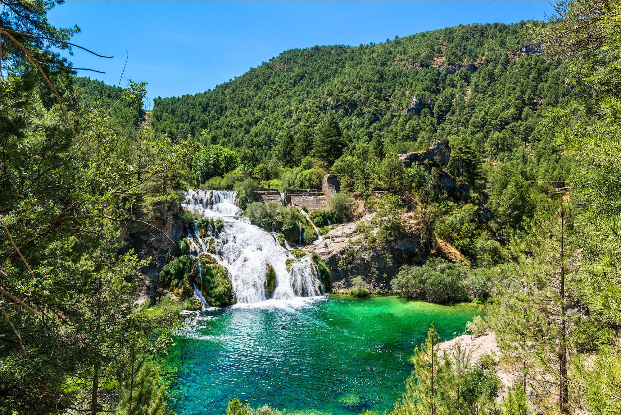
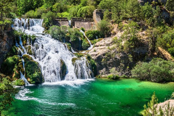
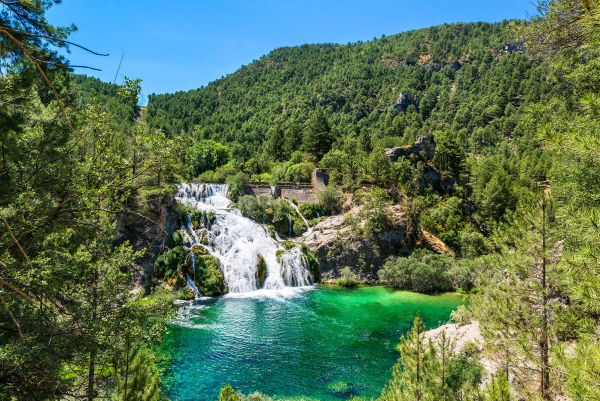
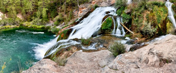
First, the CM-210 road and then a path through the forest will lead us to the Fuente del Berro recreational area, a place to rest by the river, and start the walk to visit the Salto de Poveda, a spectacular waterfall over 20 metres high, formed by the collapse of an old Tajo river dam.
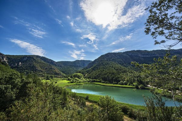
The river can be crossed on foot via the Puente de Pescadores bridge, which allows us to reach, without having to go back to the car, the Taravilla Lagoon. It’s the most important Alto Tajo wetland and fed by springs, surface water and a couple of streams. The waterfall and the lagoon are the park’s two most representative spots and are extremely beautiful to see.
Before reaching Taravilla, the imposing mound of Conde hill is a popular destination for climbing fans. This was where –although the history is not 100% clear on the matter–, after the Muslim conquest, the count Don Julián retired, a trader who provided the Berbers with the ships necessary to transport the troops who defeated the King.
Travelling through Terzaga, we head towards Peralejos de las Truchas, another Alto Tajo nerve centre, from where we can embark on multiple excursions with the rustling sound of the river water as our hiking companion.
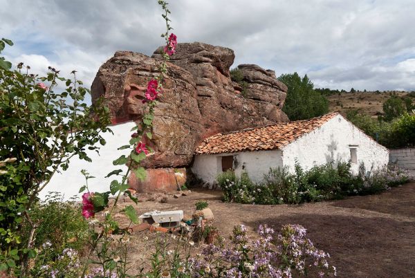
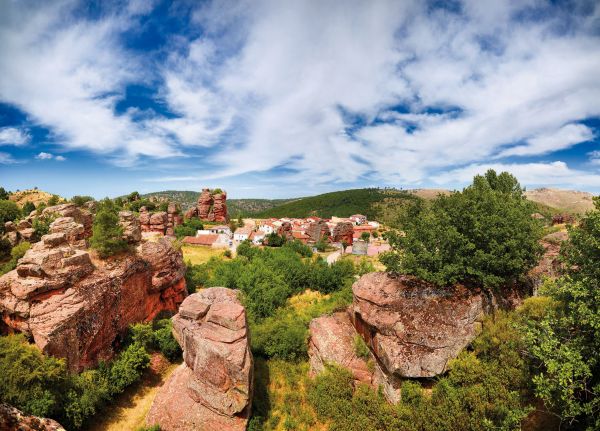
We are getting closer to the park boundaries in the Cabrillas river valley, now very close to the border with Aragón. Chequilla is eye-catching due to the sprawl of the urban centre and the interesting reddish sandstone rock formations that jut up next to the town called the “little Enchanted City”.
Not far off lies Checa, whose main square is a magnificent set of traditional local architecture and, following the course of the Cabrillas river we get to Orea, the highest town in Castilla-La Mancha at 1,499 metres above sea level.
“Museum of Traditional Farming in Alto Tajo” – Checa-
Plaza Lorenzo Arrazola, s/n
Telephone number: 949 84 82 17
“Sequero de Orea”
C/ Camino del Río, nº 2 – Orea-
Telephone number: 949 83 53 51
Email address: pnaltotajo@jccm.es
May also be of interest to you
Castilla-La Mancha Tourism in 2023. All rights reserved.
 365
365
