A ghost train between mountains and water
Toledo
90 years ago, during the Primo de Rivera dictatorship, an ambitious plan was designed to create a rail network covering the whole country. One of the projects sought to communicate the whole central peninsula to Extremadura, leaving Talavera de la Reina and reaching Villanueva de la Serena on the upper banks of the Guadiana, already in Extremadura. The works, which began in the late 1920s, were never completed. However, fortunately the Vías Verdes project to recover old railway lines for use by hikers and cyclists happened later.
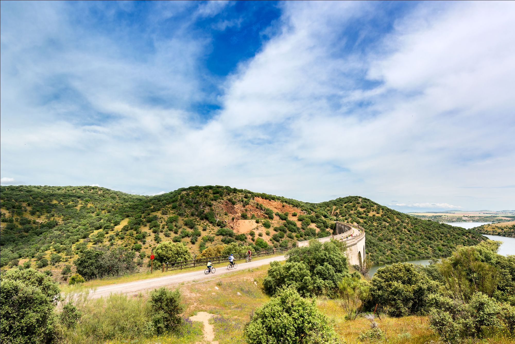
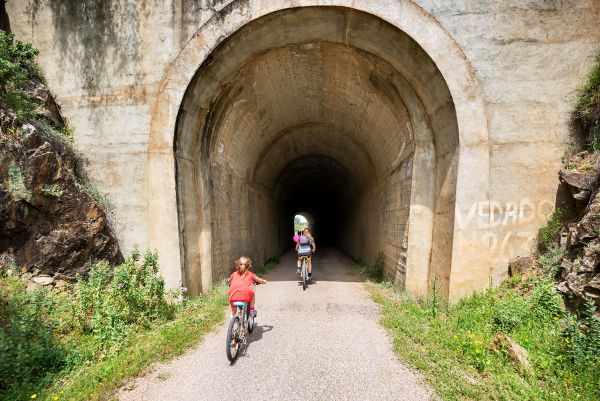
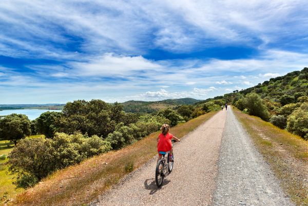
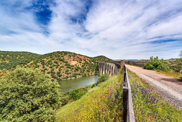
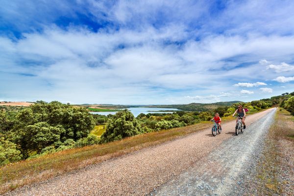
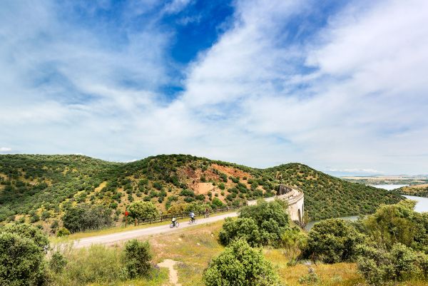
The Vía Verde de la Jara covers 52 kilometres between the town of Calera y Chozas and the Santa Quiteria station that, like the other infrastructures found along the way, never entered operation; we cross 6 viaducts, 18 tunnels -some over 800 metres long-, 6 stations, chapels and lookout points. The landscape is dominated by typical Mediterranean forest vegetation and the waters of the Tajo and Huso rivers.
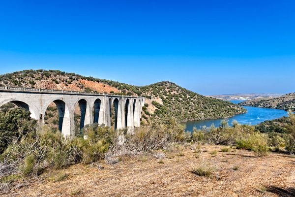
One of the most spectacular points on the route is the Azután viaduct or Amador bridge, which is 340 metres long, crossing the waters of the Tajo a little over 10 kilometres from Calera y Chozas.
Aldeanueva de Barbarroya is the only town we pass through on the route, although we can make a small detour - a few kilometres - to visit La Nava de Ricomalillo, Campillo de la Jara or Sevilleja de la Jara; in the latter, we will find the Iberian Birds of Prey Study Centre (CERI), a benchmark in Spain for the study and rehabilitation of birds of prey, which can be visited with advance bookings.
The route can be done on foot –in two or three days- or by mountain bike. Some of the stations can also be reached by car to walk parts of the journey.
The only accommodation along the route is in the Campillejo-Sevilleja station. These are some old carriages -one providing restaurant facilities and the other equipped as a sleeping car- which have the category of unique rural accommodation.
On the first part of the path, the scenery is dominated by agricultural fields leading into typical Mediterranean forest vegetation such as strawberry trees, holm oaks, cork trees, rockrose or aromatic plants, such as thyme and lavender. We can see rabbits, hares and with a little luck, the odd deer, and in the skies, the flight of birds of prey and a range of avifauna with the presence of jays, azure-winged magpies and the colourful Eurasian golden oriole.
Not far from the end of the route, we find the towns of Minas de Santa Quiteria y Puerto Rey, and the Cijara reservoir, in a uniquely beautiful natural spot.
May also be of interest to you
Castilla-La Mancha Tourism in 2023. All rights reserved.

 365
365
