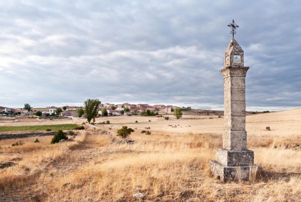
Canyons of the Mesa river
Guadalajara
The Mesa river valley is a surprising place, with narrow gorges, deep ravines and fertile river banks; following the river until we reach the crossroads of the Guadalajara, Soria and Zaragoza provinces.
For hiking fans, there are several potential routes that won’t disappoint, large and small trails and in different sections of the river. We recommend a road trip with a few essential stops. A journey that will give us an idea of the secluded place where we find ourselves and will leave us wanting more for sure.
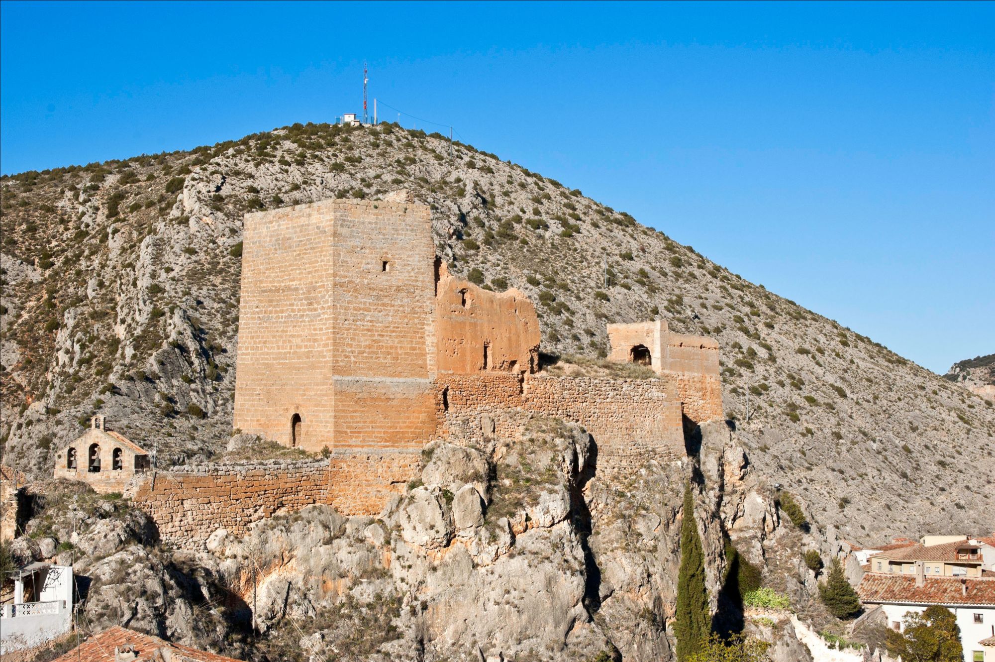
We are heading to Maranchón –100 km from Guadalajara, 40 km from Molina de Aragón– and from there, the neighbouring village of Codes. These are lands of water, abundant in springs from the wall, ground and wells, which tend to feed into the Mesa river and its streams. As a demonstration, the first thing we’re doing to see when entering Codes is its ‘navajo’: an enormous, strange well in the middle of the town, deep in some parts, which due to the soil characteristics, also collects the rainwater. Residents used to keep it clean so cattle and livery could water there all year round. It is no longer used. If we go up the hill to the castle, we’ll enjoy stunning, sweeping views of the juniper woodlands.
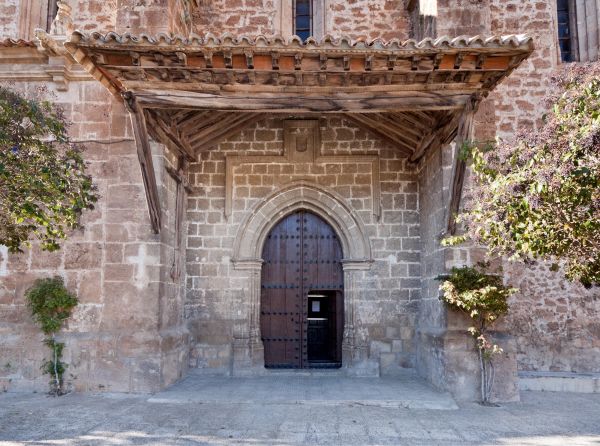
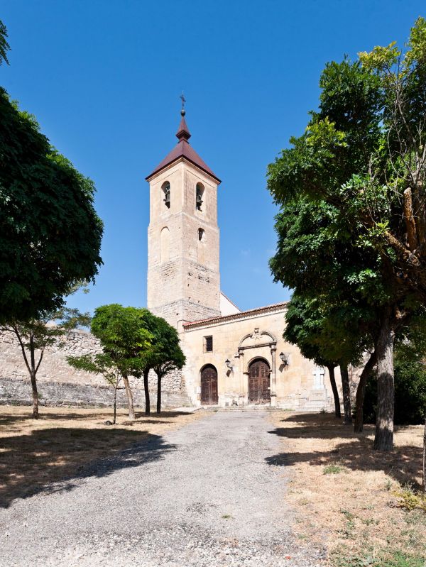
From here, we travel to Villel de Mesa, quickly crossing Soria lands through the town of Iruecha. Just before arriving, 1 km away, right where the road crosses the river, we can stop to see the Roman viaduct and enjoy the rocky, fertile scenery surrounding us. In the town, the church of Our Lady of the Assumption and the Funes Castle are eye-catching attractions. However, because of its uniqueness, beauty and ease of access, don’t miss a stroll that leaves from the town swimming pool to the Galano pool, a beautiful spot of water and lush vegetation at the end of the path.
We continue towards Algar de Mesa, the last town in Guadalajara before arriving in Zaragoza, heading towards Calmarza and Jaraba. The canyons will slowly increase in height, the road winds and becomes wedged inside, and vultures hover overhead - the scene is stunning. Before reaching Algar de Mesa, there is the noteworthy spot known as Los Castillotes, where it is believed that in times gone by, the legendary castle of Mesa might have been built, the watchtower on the border between Castile and Aragón. The Mesa river forms little waterfalls when passing through the town. In Algar, little cascades are dotted around the town.
Although we're already in Aragonese lands, we recommend travelling the remaining 10 km to reach the canyon’s finest sites: the Hoz Seca ravine and the Shrine of Our Lady of Jaraba. As we were saying, there are several routes: the Ruta de los Miradores (the Lookout Point Route), for instance, which allows us to marvel at stunning views of the canyon.
On the way back, we go through Mochales. One of the most visited spots in Mochales is La Mina. Due to the town’s location, between two hills, there was major flooding when it rained. The solution to avoid future floods was the construction of a 200-metre long gallery, excavated using bores and blasting in the early 20th century, which still performs the role it was built for.
This town is home to the fantastic spot of Tormo, half an hour’s walk to the south by the river: a high rock in an old meander of the Mesa river.
A little further upstream, we’ll find the waterfall with a pool known as Escalerón, with the attentive gaze of the Peña Coba (a rocky crag) watching from above.
May also be of interest to you
Castilla-La Mancha Tourism in 2023. All rights reserved.

 365
365
